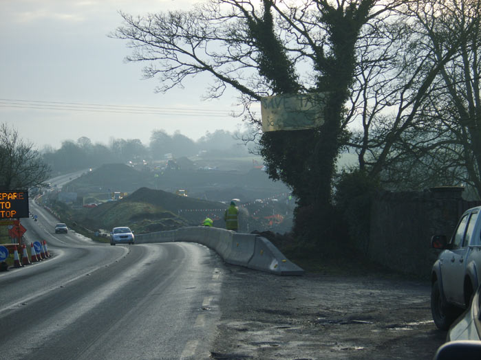
 The scene of ???struction at Soldiers Hill Meath.
I haven't been following the issue at Tara/M3 very much lately it just seems doomed (M3 route likely to open ahead of 2010 deadline), although when people reference the nature reserve in California that had roads and lamp posts installed yet was saved from development it does hearten me, as does the video of people still disrupting the work of the construction sites.
See in this video how to handle constructions workers who misdirect their aggression.(Skip to 13 mins).
You get paid either way so why are you trying to run me down, huh?
The protest haven't been getting very much coverage even by the tabloids in alarmist way. You wouldn't know it but they have been people standing in front of bulldozer every other day for weeks, disrupting work for hours until the police come take their names and they leave voluntarily, today people locked on to a bulldozer and had to be cut out they were arrested. You can follow updates from the direct actioners and campers at their blog at http://www.tarapixie.net
What was left of the Lismullin Henge has been destroyed and covered over.
Here's more photos of Tara/M3 sites on 27th to January 08 and 28th jan via MNiB
There seems to be some people and environemtal NGO groups lobbying to get UNESCO conservation for Tara but it just doesn't suit the government to submit it, they are the only body that can. (Irish Times: State fails to use heritage site register). Email them.
Excellent letter to the Indo debunking the myths about "best archaeological practice".
Debunking Tara debate myths
Wednesday January 23 2008
It seems times haven't changed since former minister Michael Smith bravely faced, with "no practical evidence", a decision to act on allegations of planning corruption and untoward pressure being put on councillors on re-zoning.
All communication with the government on the M3 planning tribunal explaining the errors made during the process has also been met with anger and denials based on the following incorrect facts.
1. The decision was made with the best archaeological advice -- incorrect. both the Discovery Project and Conor Newman objected at the tribunal
2. It is further from Tara than the old N3 and therefore better-- incorrect. The intrusive 52-acre Blundelstown Interchange is the same distance from Tara. The Lismullen monument is just over a mile from the Hill. The motorway is a mere 20 metres from Rath Lugh. Does this sound better?
3. It is good to excavate. Let me quote from the Time Team in 2003 when they revisited Athelney, in Somerset, after 10 years. Looking at the new geophysical survey, they extolled the advances in the technology since their first visit in 1993. They remarked: "In a few years we won't need to dig".
Sadly this is now looking too late for Tara. There is still time for our politicians to take a stand, based on their own personal consciences, and bestow the greatest gift they can to their grandchildren, a remodelled Lismullen national monument interpretive site and an pristine, intact valley.
PAULINE BLEACH
SALTHILL, CO GALWAY